
⏱ 4 min read
Geotechnical engineering is at the forefront of shaping the built environment, where soil mechanics and structural design converge to ensure the stability, safety, and sustainability of infrastructure projects. In this blog, we explore how advancements in Building Information Modeling (BIM) are revolutionizing geotechnical engineering practices, enhancing project efficiency, and humanizing the design process. From collaborative workflows to predictive analytics, BIM is empowering engineers to innovate and address complex geotechnical challenges with unprecedented precision and foresight.
Introduction: The Evolution of Geotechnical Engineering:-
Geotechnical engineering forms the foundation of civil infrastructure, encompassing soil behavior, foundation design, slope stability, and underground construction. Traditionally, engineers relied on empirical data and manual calculations to assess geological conditions and mitigate risks. Today, the integration of BIM technologies has ushered in a new era of digital transformation, enabling engineers to visualize, simulate, and optimize geotechnical solutions with greater accuracy and efficiency.
Leveraging BIM for Site Investigation and Analysis:-
Enhanced Visualization: BIM enables geotechnical engineers to visualize subsurface conditions and geological data in 3D models, providing a comprehensive view of site complexities and potential hazards. By integrating geospatial information with BIM platforms, engineers can analyze soil properties, groundwater levels, and geological formations with spatial context, facilitating informed decision-making and risk assessment.
Predictive Modeling: BIM-based software tools incorporate advanced algorithms and predictive modeling techniques to simulate soil-structure interaction, analyze foundation performance, and forecast long-term settlement behaviors. Engineers can conduct virtual tests and scenario analyses, optimizing foundation designs and mitigating construction risks before ground-breaking begins.
Case Study: High-Rise Tower Foundation Design:-
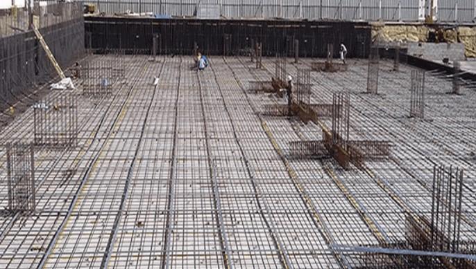
Geotechnical Challenges: Imagine a bustling urban landscape where engineers are tasked with constructing a high-rise tower on a site with varying soil conditions and seismic risks. Using BIM, geotechnical engineers collaborate with structural designers and architects to assess soil parameters, analyze foundation options, and simulate load-bearing capacities in real-time. By visualizing the tower’s foundation in a virtual environment, stakeholders gain confidence in the project’s feasibility and resilience, ensuring that the building stands the test of time while safeguarding human safety and urban vitality.
Integrating Geotechnical Data Across Project Lifecycle:-
Collaborative Workflows: BIM helps architects, engineers, and contractors work together smoothly throughout the project. It centralizes data on a single digital platform, making communication easier. Teams can share updates in real-time and coordinate activities better. This reduces errors and speeds up decisions, ensuring projects finish on time and within budget.
Sustainable Design: BIM simulations help engineers evaluate foundation designs and optimize material usage. They integrate sustainability metrics into geotechnical analyses. Engineers can propose eco-friendly solutions that reduce carbon footprints and conserve resources. This enhances infrastructure resilience to climate change and extreme weather.
Case Study: Underground Transportation Tunnel:-
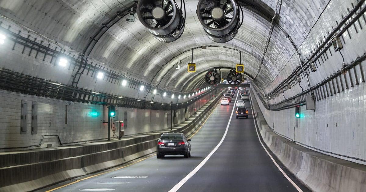
Urban Mobility: Imagine a busy city where engineers design an underground tunnel to ease traffic and improve commuting. Geotechnical engineers work with urban planners and environmental specialists to assess geological risks. They use BIM to optimize the tunnel’s alignment and simulate excavation. This ensures the tunnel’s strength, efficiency, and minimal impact on communities, boosting urban mobility and residents’ quality of life.
Advancing Geotechnical Engineering with BIM Technologies:-
Real-Time Monitoring: BIM-integrated sensors and IoT devices monitor soil conditions and structural responses in real time. Engineers can quickly detect anomalies and take preventive measures. This helps optimize maintenance schedules, ensuring infrastructure resilience and longevity.
Risk Mitigation: BIM helps assess and manage risks with digital simulations and scenario analysis. Engineers use it to enhance project resilience. It reduces insurance costs and safeguards investments. This is crucial for handling geological and environmental hazards.
Case Study: Coastal Protection Infrastructure:-

Environmental Resilience: Imagine a coastal town at risk from rising sea levels and severe storms. BIM helps engineers, planners, and scientists work together. They use models to predict wave behavior and assess erosion. This leads to solutions that protect both nature and the community. By combining ecology and engineering, BIM promotes sustainable and resilient shorelines.
Conclusion: Embracing a Digital Future in Geotechnical Engineering:-
Building Information Modeling (BIM) is transforming geotechnical engineering. It enhances visualization, collaboration, and decision-making in infrastructure projects. Engineers use BIM to tackle complex challenges with innovation and precision. This approach ensures infrastructure meets standards and boosts societal resilience and environmental care.
Read more on:-
For more information about engineering, architecture, and the building & construction sector, go through the posts related to the same topic on the Pinnacle IIT Blogs page.
Find out more accurately what we are going to take off in the course of applying leading new technologies and urban design at Pinnacle IIT.
Subscribe to our YouTube channel and blog websites to obtain all the up-to-date information relating to construction matters.